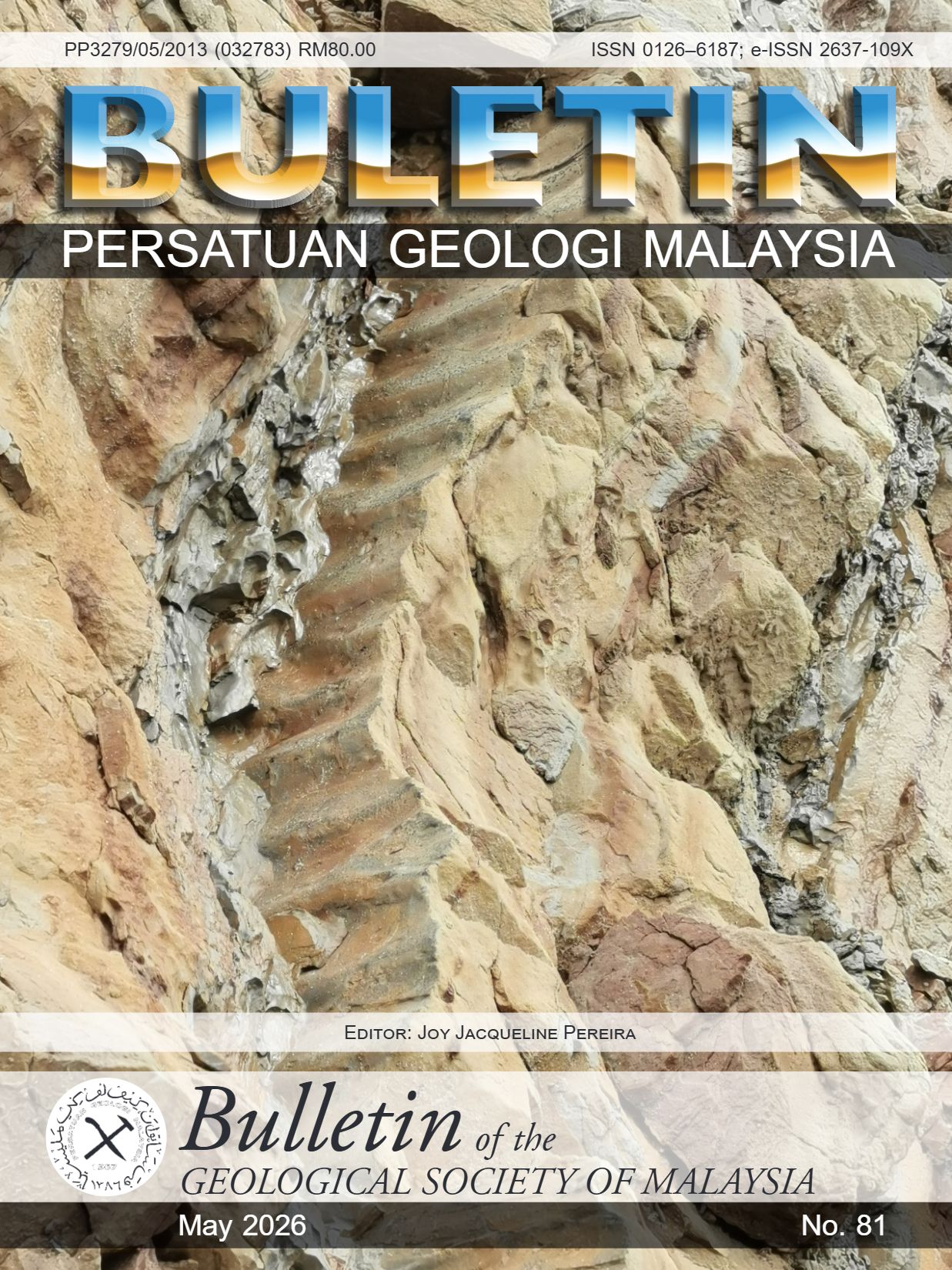

Bulletin of the Geological Society of Malaysia, Volume 81, May 2025, pp. 1 – 3
An assortment of research findings on economic geology, hydrogeology, stratigraphy and tectonics
The 81st volume of the Bulletin of the Geological Society of Malaysia contains nine articles. The first three are on economic geology, followed by four on hydrogeology. The last two articles are on stratigraphy and tectonics, respectively. In line with the mandate of the Society, the Bulletin 81 supports original research primarily on Malaysia but also highlights comparative topics from the region, specifically Vietnam and Indonesia in this issue.
Fauzi et al. (2026) endeavour to shed light on the poorly understood function of tin-bearing S-type granites of western Peninsular Malaysia in the formation of ion-adsorption clay-type rare earth element (IAC-REE) deposits. Fresh granitic rocks and weathered material were collected from five representative sites in Kedah, Perak, Selangor, Negeri Sembilan and Johor. Weathered samples were collected at a spacing of 200 m over a 1 km² grid, from depths of 3-8 m; naturally dried, disaggregated and separated using a 500 μm sieve to secure the ionic clay fraction. Geochemical and mineralogy analysis were conducted on apportioned samples using X-ray fluorescence, X-ray diffraction and Inductively Coupled Plasma Mass Spectrometry. Findings show that the total rare earth element content in the weathered profiles range from 222 to 677 ppm, with higher levels of light rare earth elements (144–566 ppm) compared to heavy rare earth elements (62–111 ppm). Factors such as the presence of REE-bearing minerals, clay content, and profile thickness influence the REE content. Further investigation is required to identify the actual source minerals for the REE and establish clay mineral behaviour.
Kamaruzzaman et al. (2026) report on the occurrence of platinum group minerals in river sediments along the tributaries of Sungai Kapuakan in Ranau, Sabah. River sediments were panned at 12 carefully selected sampling sites. Quantitative mineral estimation of the concentrates delineated magnetite, chromite, monazite, leucoxene, zircon, rutile, and ilmenite. X-ray diffraction revealed the presence of sperrylite and laurite, which are commonly associated with ophiolitic placers. The distribution of minerals associated with platinum group minerals in the study area are magnetite, chromite, monazite, leucoxene rutile and zircon. The source rock is possibly linked to the boundary of the ultrabasic igneous body, upstream of Sg Kapuakan or the western part of the study area. Detailed geological mapping and a geochemical survey have been suggested to investigate this potential, given the accessibility of this area compared to other remote parts of Borneo, where the presence of platinum group minerals have been previously reported.
Le et al. (2026) share insight from the fluid inclusion studies on the physico-chemical condition and origin of the Me Xi gold deposit in the Central Truong Son Belt, Vietnam. Quartz crystals with sufficient fluid inclusions from gold-bearing hydrothermal veins were selected and prepared in double-polished thin sections. A ZEISS polarizing microscope was used to delineate textural features, including the sizes and phases of fluid inclusions. Only primary fluid inclusions were used for further analysis using the Linkam THMSG600 heating-freezing stage, to determine the initial and last melting temperatures, and homogenization temperatures of the inclusions. The phase transition point, where the solid ice melts entirely, was used to establish the salinity of the solution. The samples display homogenization temperatures ranging from 181°C to 394°C, with dominant clustering between 180°C and 260°C; and salinities ranges from 0.3 to 16.9 wt.% NaCl, the majority with moderate to high-salinity inclusions (5-17 wt.% NaCl). The findings support an isothermal mixing model between magmatic and meteoric fluids as a key mechanism for gold precipitation. This new understanding will contribute to improve exploration models for similar gold deposits in the region.
Agha-Musa et al. (2026) conducted a preliminary screening of groundwater potential in the mainland of Penang using a combination of remote sensing and Geographical Information System (GIS). The Muda River is the sole source of surface water supply for this densely populated metropolitan, making groundwater a critical alternative for water security in the area. Parameters relevant to hydrogeological assessment such as land cover, drainage density, lineament density, soil type, geology, slope, elevation and geomorphology were extracted from a range of datasets and integrated within the ArcGIS domain using the Analytic Hierarchy Process and weighted overlay techniques, to delineate zones with varying levels of groundwater potential. Areas with alluvial lithology, marine clay, and silt, undifferentiated continental clay, silt, sand and gravel in Kampung Tamban, Taman Bertam, Seberang Perai, Taman Bukit Juru, and Kampung Kepala Gajah areas were classified as having particularly good groundwater potential. Relatively, areas with alluvial lithology and undifferentiated acid intrusives in Bukit Mertajam Forest Park, Kampung Pelet, Kampung Lima Kongsi and Bukit Jawi, have poor groundwater potential. The findings provide guidance for further investigation including groundwater well drilling in the region.
Prakasini et al. (2026) highlight hydrogeological challenges in drilling fractured hardrock aquifer in Kedah, drawing on the experience of the Groundwater Resources Mapping and Development Project (PABT Kedah), where systematic assessment of groundwater potential was conducted over an area of 9,500 km². After establishing preliminary ground conditions, a coupled geophysical approach comprising the Transient Electromagnetic survey and resistivity survey were deployed to determine suitable drilling sites for groundwater extraction. Boreholes were initially prevented from reaching the target depth due to high downhole pressure, fractured zone collapse, insufficient compressor capacity and unexpected geological conditions. The well design and development techniques were then modified to optimise and sustain yield during pumping. In addition, downhole geophysical tools were deployed to capture subsurface conditions including the location of major fractures. Subsequent boreholes were successfully drilled to the target depth of 200 meters, providing valuable lessons for future groundwater exploration of fractured hardrock in the area.
Mejus et al. (2026) deployed a baseline study to establish surface and groundwater quality for a dual-function flood mitigation and water storage system in the unconsolidated deposit aquifer of the Melaka River Basin. The investigation commenced with a comprehensive assessment of existing data to determine the subsurface geology and hydrogeological characteristics. This was augmented with in situ pumping tests to estimate the hydraulic conductivity of the aquifer, analysis of surface water, groundwater and rainfall for their isotopic signatures, and testing of physicochemical properties. Results indicate that a high volume of rainfall within brief time frames lead to increased runoff and reduced groundwater recharge. Isotopic analysis revealed preferential sourcing of river water from rainfall during the wet season or water enriched by evaporation from terrain storage. Heavy metal concentrations are generally within allowable limits. With respect to water quality, the baseline data supports the construction of the proposed dual-function pond in the Melaka River Basin. A valuable long-term environmental monitoring framework to inform resource management decisions and guide the placement of future dual-function ponds has been established.
Sehah et al. (2026) conducted a magnetic survey to develop hydrogeological models of fractured aquifer in the volcanic rock complex in Kutasari District, Indonesia. The magnetic survey is suitable for volcanic rocks that comprise highly magnetic minerals and produce results with well-defined spatial resolution to isolate fractures and cracks in the underlying formations, which hosts the fractured aquifer. The study area covered 6.75 km2 and magnetic data was successfully acquired from 768 points in the field at a spatial resolution of 100 m for further step-wise processing to obtain the local magnetic anomaly data; followed by Reduction to the Pole filtering and First Horizontal Derivative analysis, to identify the lithological boundaries. The hydrogeological models revealed aquifers located in the first and second lithological layers. The first layer comprised extensively weathered cavity rich vesicular andesite lava rocks, and the second layer was andesite lava rocks with abundant cracks and fractures. The aquifers are underlain by dense and massive andesite lava. The findings are significant as fractured groundwater is a critical source of water supply to meet the needs of the agriculture, industrial and domestic sectors in this area.
Lunt et al. (2026) present a historical account of the fluvial to coastal plain sand deposition using the Cycles of Sarawak. Terminology is clarified and a revised tectono-stratigraphic framework is offered for the Oligo-Miocene boundary period, to categorise sedimentary formations genetically and enable associations to regional geology. This is part of an ongoing effort to contextualise prior descriptions of onshore formations and successions in the geological history of Sarawak for wider reconstruction. A new element in this review is the Cycle I to II boundary that can be correlated with the regional Base Miocene Unconformity, which has not been mentioned in previous accounts. This is the basis for the revised tectono-stratigraphic framework; where the onshore lithofacies from each of the three Cycle-related phases are now grouped into different palaeogeographic settings. The most common are referred to as the Nyalau Formation, Kakus Member and Biban Sandstone Member, which can now be further categorised to reflect the episodic stratigraphy.
Golutin et al. (2026) provide findings from systematic monitoring of seismic activity between 2019 to 2024, drawing on data from 31 Global Navigation Satellite System (GNSS) monuments installed by the Department of Mineral and Geoscience Malaysia (JMG) in Ranau, Sabah. The presence of an active fault zone in Ranau is reflected by the occurrence of moderate to strong earthquakes in 1966, 1991 and 2015, as well as high seismic activity in the area. Results revealed horizontal crustal movement ranging from 3 mm/year to 14 mm/year, predominantly towards the northwest and west. Vertical movement ranging from -10 mm/year (downward) to +12 mm/year (uplift) are also detected. The shifts are closely related to the uplifting process of Mount Kinabalu, which is influenced by the interaction between the troughs in NW Borneo and NE Borneo. The GNSS data also indicate a relatively westward movement of the crust in the Ranau area, which is attributed to the west-northwest shift of the Philippine Plate.
REFERENCES
Agha-Musa, B., Abir, I.A., Khalf, K.A., & Fahad, A., 2026. Groundwater potential assessment for Penang mainland, Malaysia using remote sensing and Geographical Information System (GIS). Bulletin of the Geological Society of Malaysia, 81, 43-56.
Fauzi, F.A., Jamil, A.A., Azlan N.N.N., Aseri, M.A., Bakar, A.A., Hamid, I.A., Mustafa, Y.A., Rahman, A.H.A., Ibrahim, M.Z., & Ganasan, T., 2026. Ion-adsorption clay-type rare earth elements in the Western Belt of Peninsular Malaysia: A study on the influence of tin-bearing S-type granites. Bulletin of the Geological Society of Malaysia, 81, 5-19.
Golutin, B., & Rahim, I.A., 2026. Pemantauan dinamik tektonik dan analisis pergerakan sesar aktif di Ranau, Sabah, Malaysia. (Monitoring of tectonic dynamics and analysis of active fault movement in Ranau, Sabah, Malaysia). Bulletin of the Geological Society of Malaysia, 81, 117-128.
Kamaruzzaman, M.Y.B., Musta, B., Musa, M.S.B., & Montoi, J.F.S.B., 2026. Platinum group mineral identification in river sediments along the tributaries of Sungai Kapuakan, Ranau. Bulletin of the Geological Society of Malaysia, 81, 21-29.
Le, T.X., Zaw, K., Tran, H.T., Luong, K.Q., Nguyen, D.K., & To, B.X., 2026. Physico-chemical condition and origin of Au mineralisation at Me Xi deposit, Central Truong Son Belt, Vietnam: Insight from fluid inclusion studies. Bulletin of the Geological Society of Malaysia, 81, 31-41.
Lunt, P., Nazrul, M., & Laksamana, K.A., 2026. The history of fluvial to coastal plain sand deposition and the Cycles of Sarawak. Bulletin of the Geological Society of Malaysia, 81, 99-115.
Mejus, L.A., Tawnie, I.B., Idris, A.N.B., Hashim, M.M.B.M., Mustaffa, M.S.B., & Chik, E.F.B.E., 2026. Baseline study of surface and groundwater quality in response to groundwater recharge potential. Bulletin of the Geological Society of Malaysia, 81, 71-83.
Prakasini, D., Vijayan, V.R., Zamani, A.S., & Alvyn C.M., 2026. Hydrogeological challenges in drilling fractured hardrock aquifer in Kedah. Bulletin of the Geological Society of Malaysia, 81, 57-70.
Sehah, Aziz, A.N., Hartono, Salihamidzi, F.R., Rediko, M., Abdullatif, R.F., & Boli, L.S.P., 2026. Application of magnetic anomaly data for depicting hydrogeological model of fractured aquifer: A case study from Kutasari, Purbalingga, Indonesia. Bulletin of the Geological Society of Malaysia, 81, 85-98.